

Get our latest staff recommendations, award news and digital catalog links right to your inbox.
Norfolk Coast Path & Peddars Way
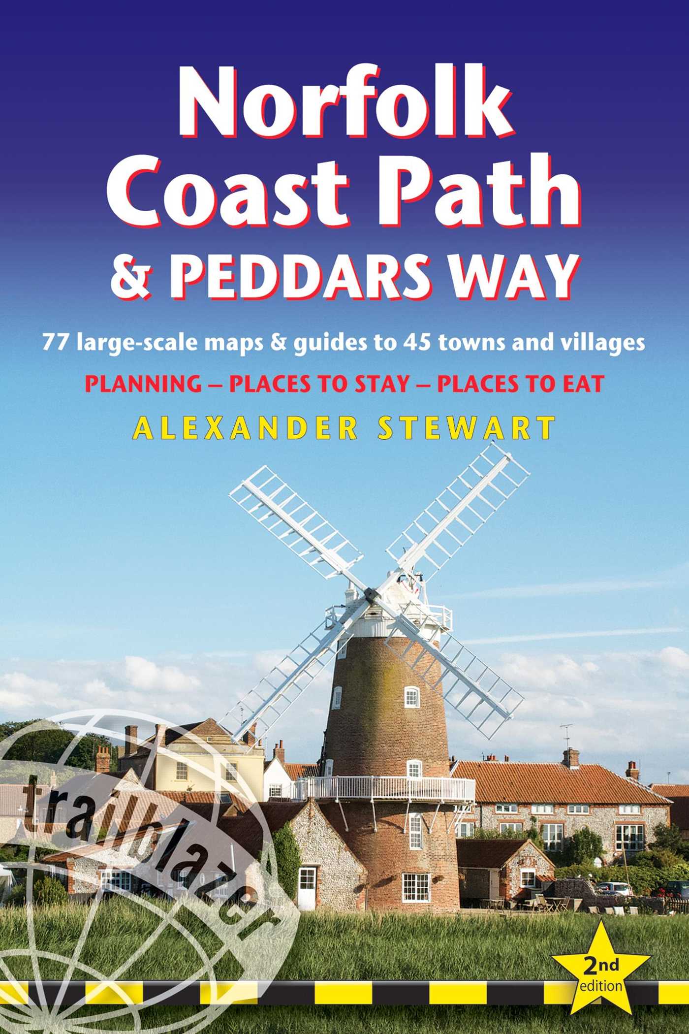
British Walking Guide: 77 Large-Scale Walking Maps (1:20,000) & Guides to 45 Towns & Villages - Planning, Places to Stay, Places to Eat
Part of British Walking Guides
Published by Trailblazer
Distributed by Simon & Schuster
Table of Contents
About The Book
The Peddars Way runs through East Anglia from Knettishall Heath on the Norfolk/Suffolk border and follows a Roman road to Holme-next-the-Sea. From here it becomes the Norfolk Coast Path, hugging the beautiful Norfolk coastline through Holkham, Wells, Blakeney and Cley to Cromer before it rounds the shoulder of the county and continues along the superb beaches and crumbling cliffs to Mundesley, Sea Palling and Great Yarmouth, finishing just before the Suffolk border.
Covering 130 miles of walking, this guide includes the 40-mile extension of the National Trail from Cromer to Hopton-on-Sea.
Covering 130 miles of walking, this guide includes the 40-mile extension of the National Trail from Cromer to Hopton-on-Sea.
Product Details
- Publisher: Trailblazer (February 1, 2024)
- Length: 256 pages
- ISBN13: 9781912716395
Browse Related Books
Resources and Downloads
High Resolution Images
-
Book Cover Image (jpg): Norfolk Coast Path & Peddars Way
2nd Edition Trade Paperback 9781912716395
Norfolk Coast Path & Peddars Way
British Walking Guide: 77 Large-Scale Walking Maps (1:20,000) & Guides to 45 Towns & Villages - Planning, Places to Stay, Places to Eat
Part of British Walking Guides
Published by Trailblazer
Distributed by Simon & Schuster
Join our mailing list!
By clicking 'Sign me up' I acknowledge that I have read and agree to the privacy policy and terms of use.


